Geophysics ( NDT )
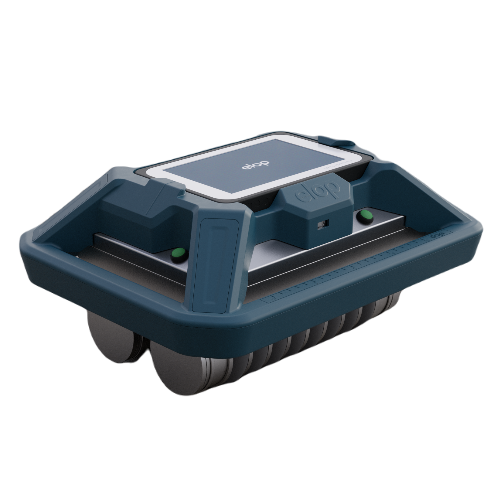
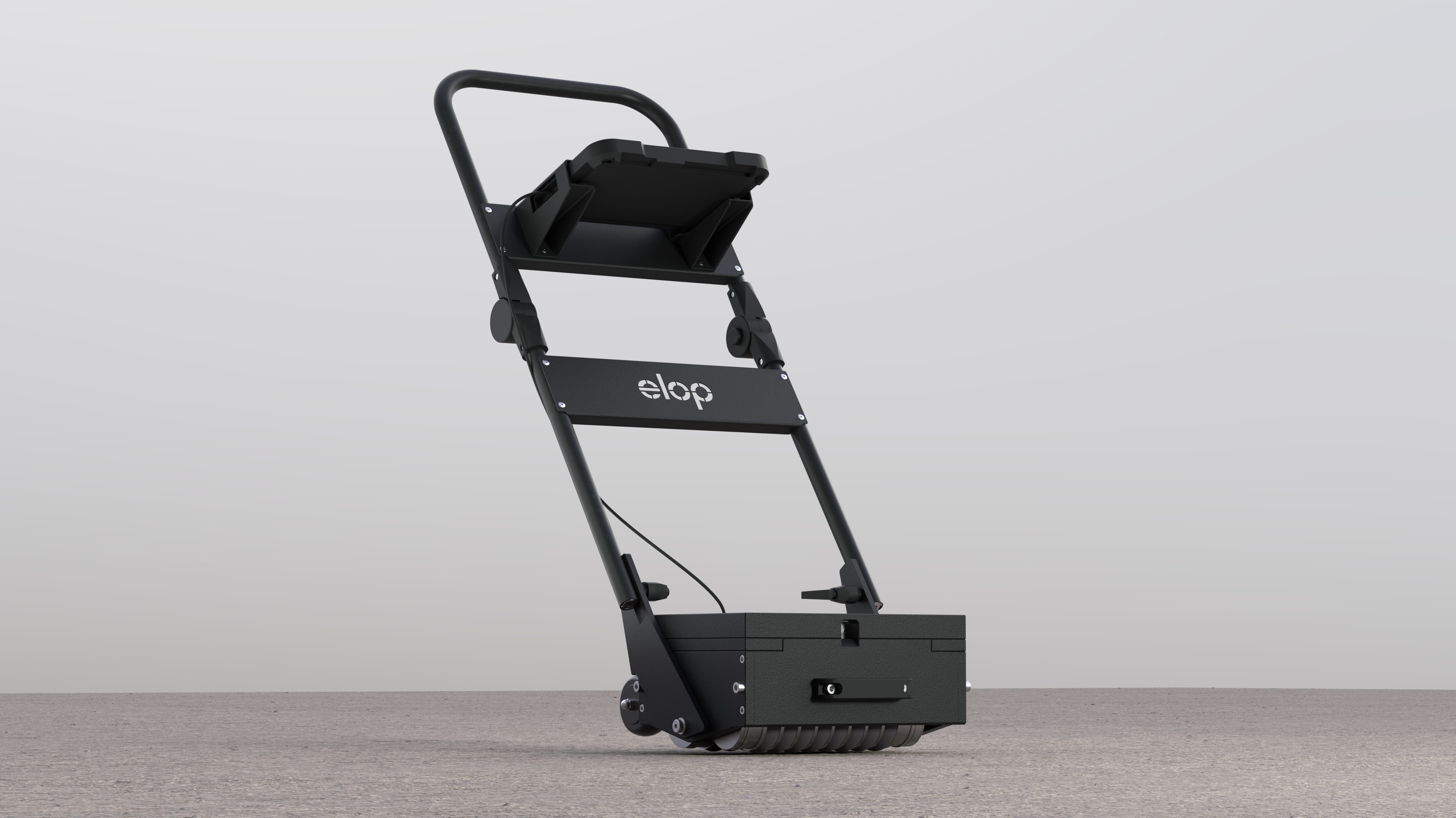
ultrasonic concrete scanner solution
Geophysics ( Airborne )
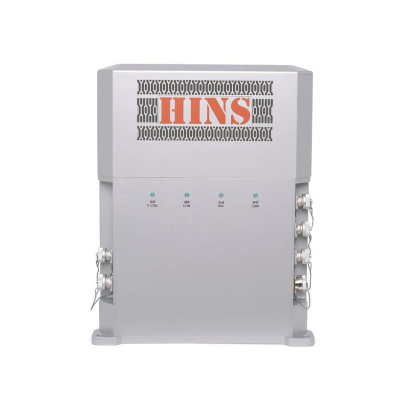
▽ Airborne gravity meter
Vector gravimeter (three-component gravimeter)
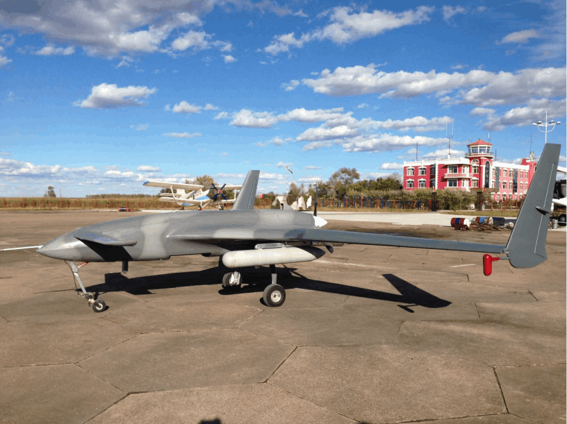
Airborne gravity meter, match with Helicopters, drones, UAV.
▽ Airborne Magnetometer
Airborne Magnetometer matches with Helicopters, drones, UAVs, fixed-wing, and multi-rotor uncrewed aerial vehicles.
▽ Airborne Electromagnetic Technology (EM)
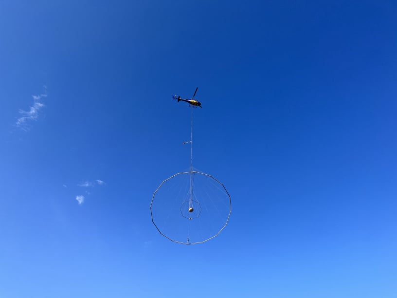
Airborne Electromagnetic Technology (EM) matches with Helicopters.
▽ Airborne TEM / TDEM
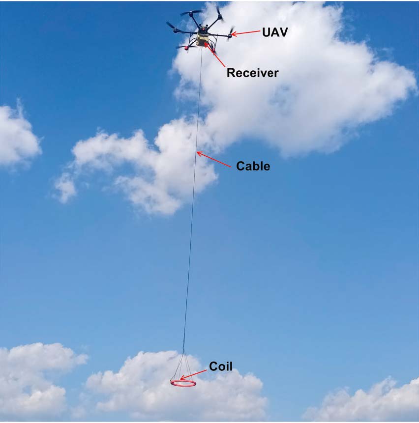
Airborne TEM matches with Helicopters, drones, UAVs, fixed-wing, and multi-rotor uncrewed aerial vehicles.
Airborne TEM is currently a semi-airborne TEM system and product. It can match the TEM Dual source system, including the coil magnetic and electrode electrical coupling sources.
▽ Airborne FDEM
Airborne FDEM for soil Conductivity survey
FDEM, or EM, matches with drones, UAVs, and multi-rotor unmanned aerial vehicles
Airborne/drone towed controlled source electromagnetic (CSEM) system in the frequency domain.
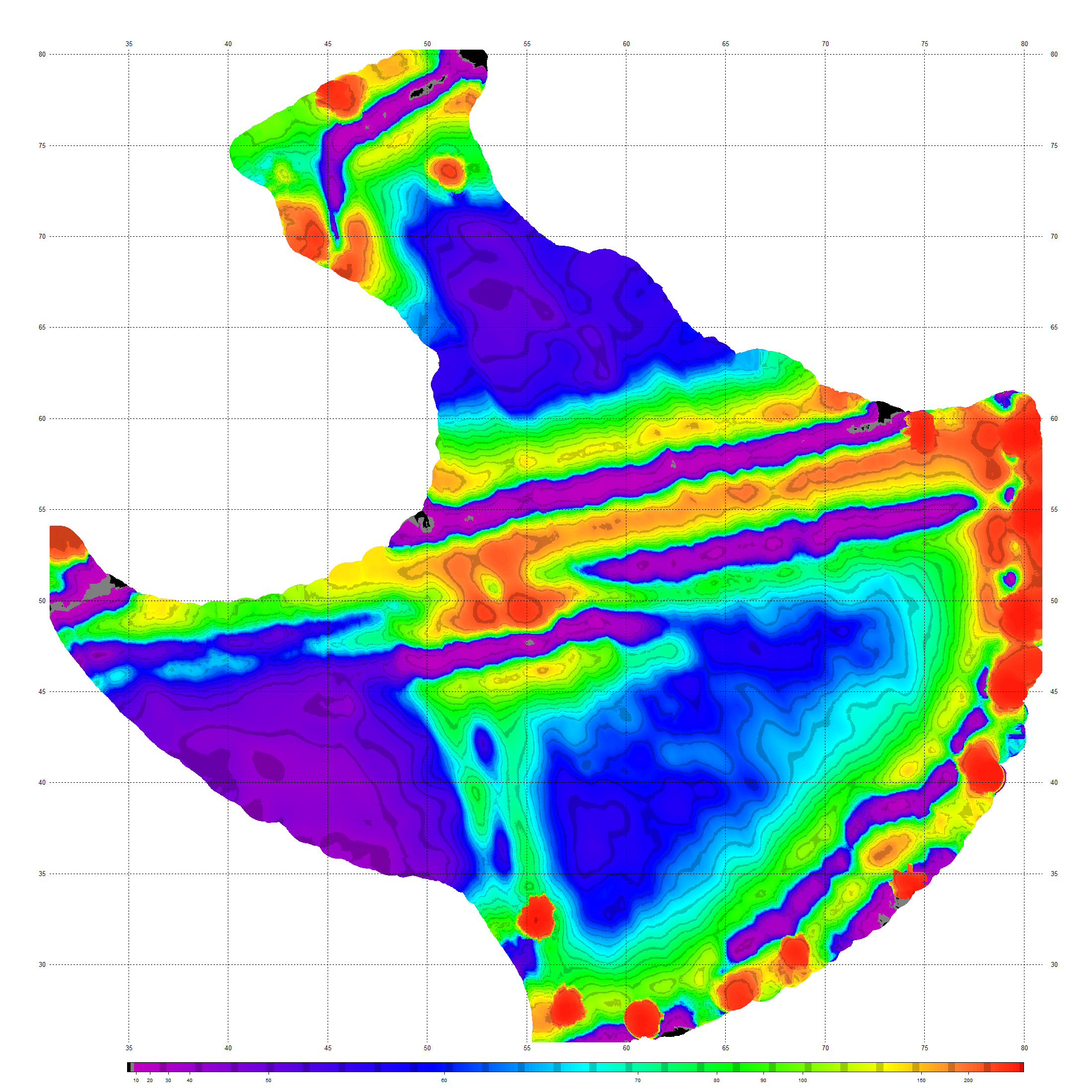
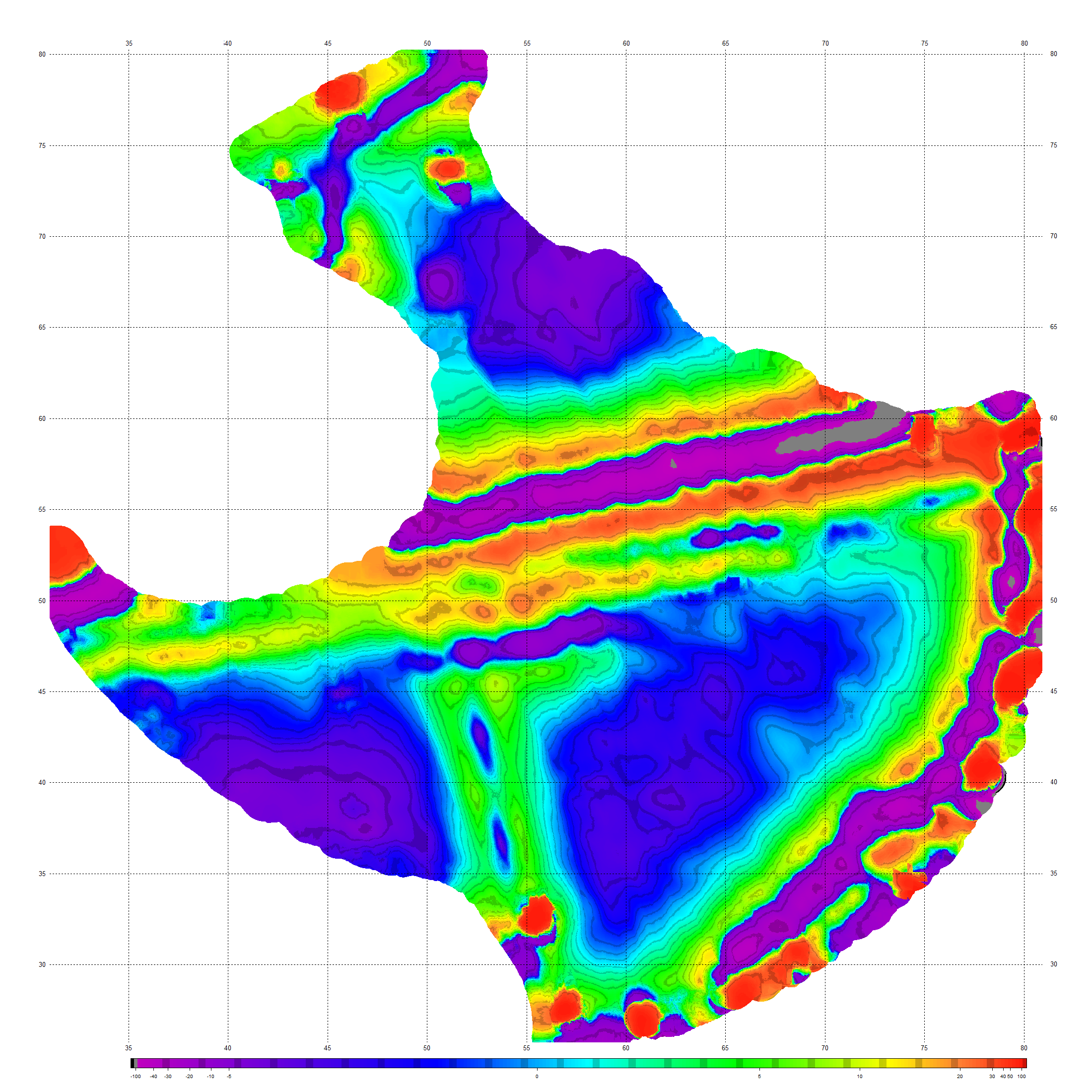
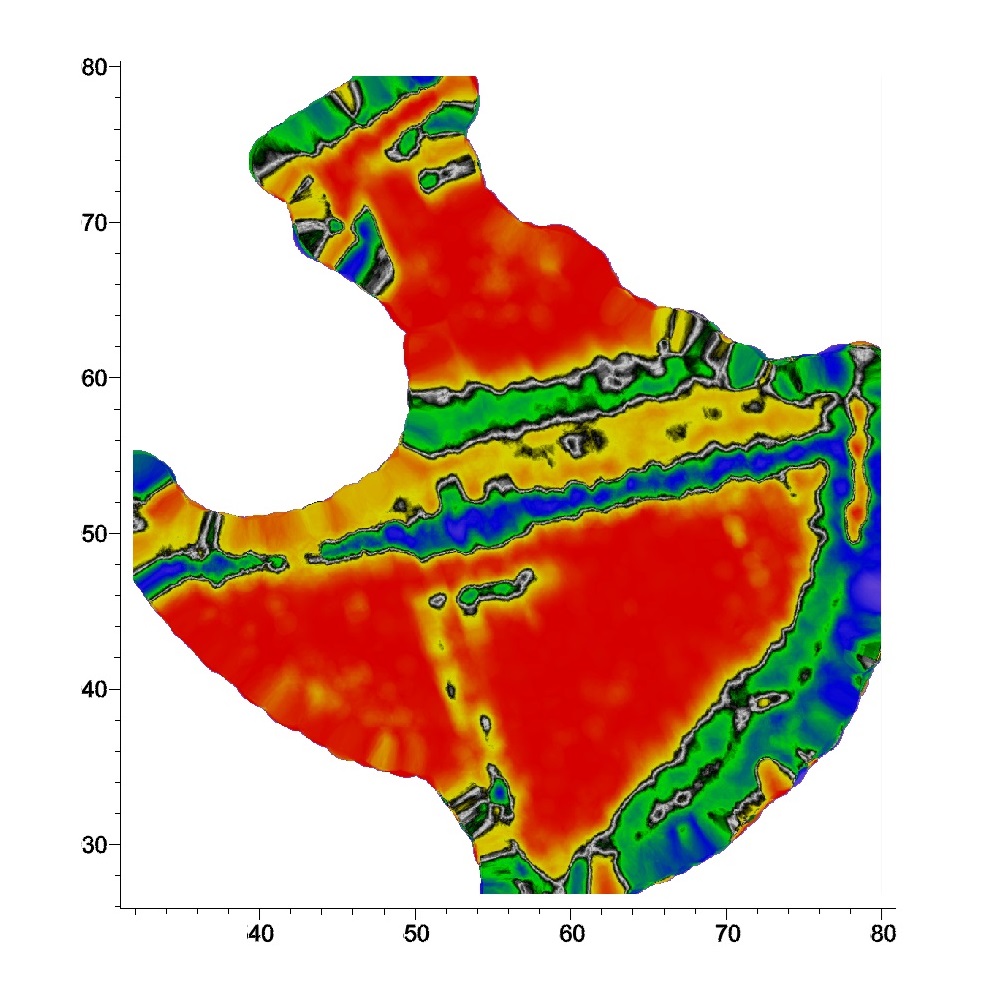
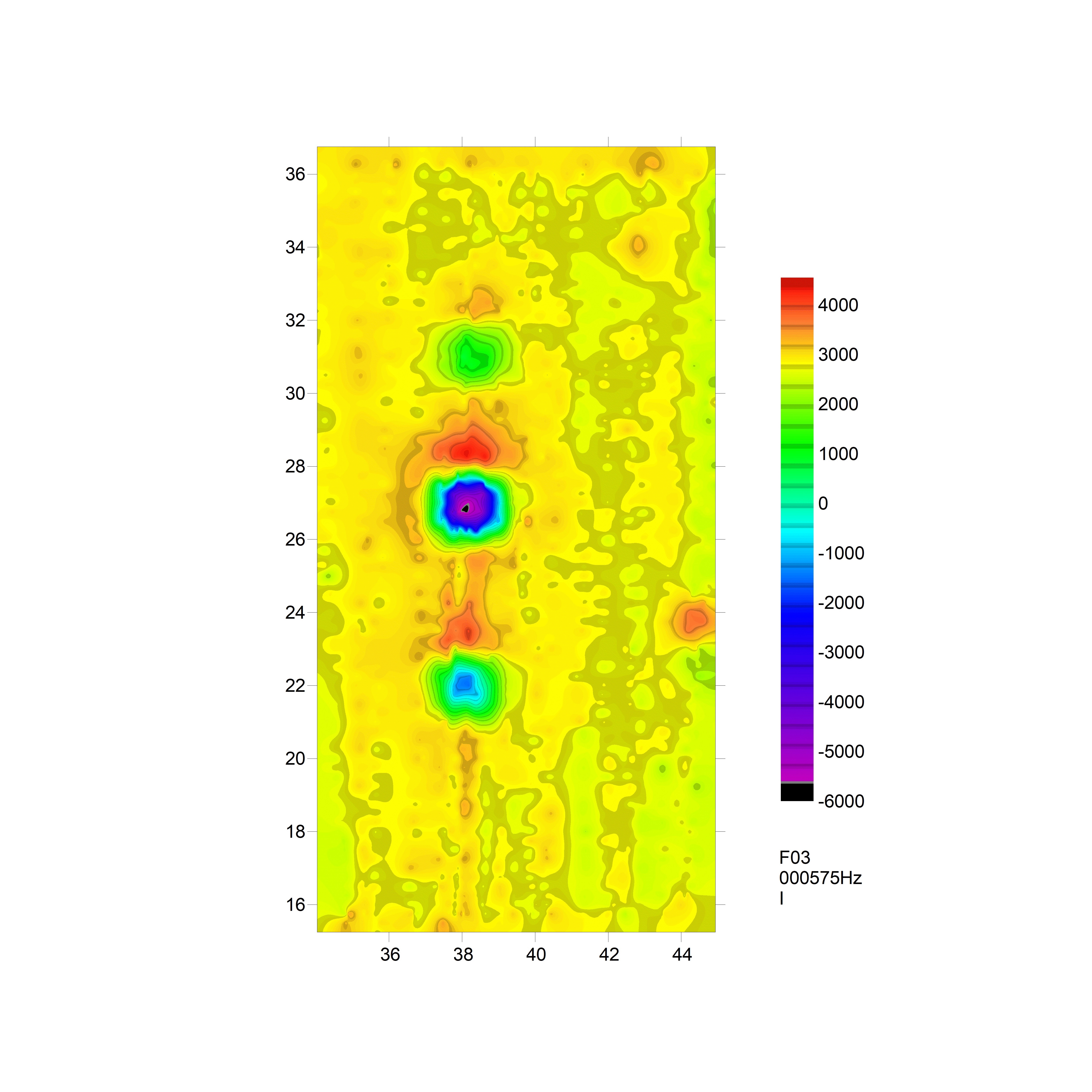
EM is programming FDEMI conductivity, Apparent conductivity map(below left), Apparent Magnetic susceptibility map(below right)
▽ Airborne GPR
Deep Ground Penetrating Radar DGPR:
Faster(Field test),
Higher(Transmitter voltage),
Stronger(Transmitter power),
Together(System integration)
Deep Ground Penetrating Radar DGPR:
Deeper(Exploration),
Further(SurevyArea)
| snow and ice | : | glacier, snow ice, sea ice, snow, |
| fresh water and its bottom | : | stream water, river water, lake water, |
| soil in frozen status | : | Frozen soil, |
| limestone in the karst zone | : | Karst, karst caves, caves, karst water |
| sand | : | desert, desert water, sand layer structure, beach sediment layer |
| salt crystal | : | salt body, salt crystal, salt mine |
| non-conductive bedrock | : | Granite, sandstone |
Ultra High Transmitter Voltage and Radio Power Ground Penetrating Radar
For 100-meter depth and even 200-meter depth, we provide ultra-power 20 MW GPR geology survey research in the field for different industries and applications in China and worldwide.
▽ airborne radiometric survey
Geophysics
We offer gravity meters, magnetometers, ERTs, MTs, AMTs, CSAMTs, EM(tdem and fdem), RMTs, Seismic meters, and GPRs. Please contact us for details.
▽ vehicle-mounted gravimeter
▽ vehicle-mounted magnetometer
▽ Electrical Exploration (EMI: fdem, tdem)
▶ vehicle-mounted FDEM(Frequency domain electromagnetic induction method)
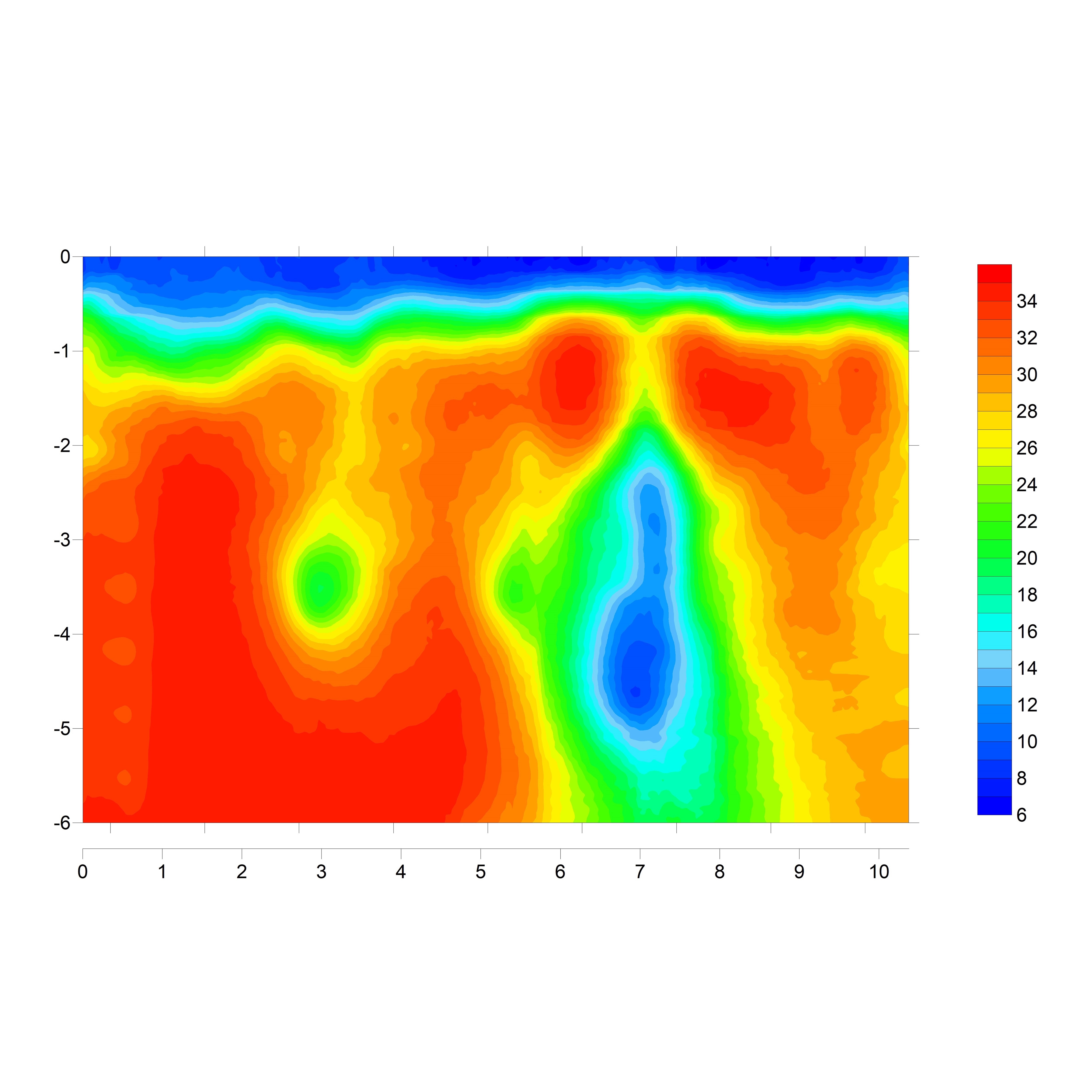
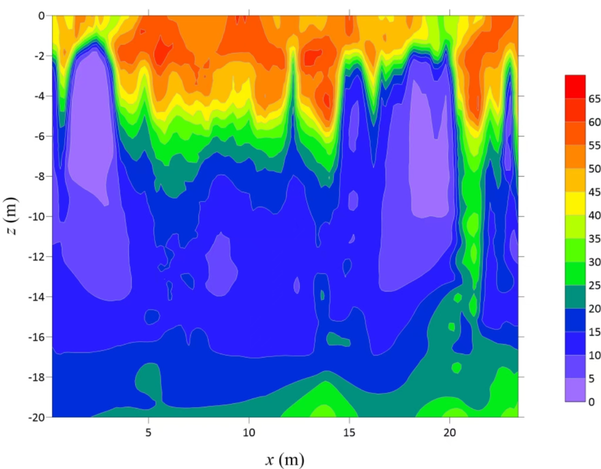
Conductivity: The left upper corner and right upper corners are for the plan image; the left lower and right lower corners are for the depth section image.
▶ vehicle-mounted TEM(Time-domain transient electromagnetic method)
For a very shallow near-surface 30-meter depth survey, we provide a towed time mode TEM system for dam soil structure survey and seepage investigation.
▽ Electrical Exploration
▶ ERT(direct current method,classical electrical method)
▶ CSEM(Controlled source electromagnetic method)
▶ IP(induced polarization method)
▽ GPR
▶ Ultra Deep GPR(Ground Penetrating Radar)
Deep Ground Penetrating Radar DGPR:
Faster(Field test),
Higher(Transmitter voltage),
Stronger(Transmitter power),
Together(System integration)
Deep Ground Penetrating Radar DGPR:
Deeper(Exploration),
Further(SurevyArea)
| snow and ice | : | glacier, snow ice, sea ice, snow, |
| fresh water and its bottom | : | stream water, river water, lake water, |
| soil in frozen status | : | Frozen soil, |
| limestone in the karst zone | : | Karst, karst caves, caves, karst water |
| sand | : | desert, desert water, sand layer structure, beach sediment layer |
| salt crystal | : | salt body, salt crystal, salt mine |
| non-conductive bedrock | : | Granite, sandstone |
Ultra High Transmitter Voltage and Radio Power Ground Penetrating Radar
For 100-meter depth and even 200-meter depth, we provide ultra-power 20 MW GPR geology survey research in the field for different industries and applications in China and worldwide.
Geophysics ( Marine,water related )
Physical oceanography, marine geophysical exploration, marine surveying, underwater engineering
Marine gravity meter, Marine magnetometer, Marine ERT, Marine MT, Marine TEM, Marine FDEM(UNDER SEA), Marine OBS(Ocean Bottom Seismometer), underwater GPR
